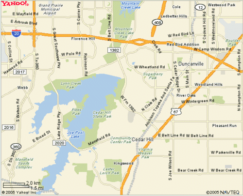
Cedar
Hill State Park
GIS Trail Maps
Joe Pool Lake is the home of this popular trail located in the southwest corner of Dallas County. This trail is the first of our prototype project. I live close to this area, so I frequent this trail the most. I began the trail mapping project in the Spring of 2003, but I did not publish these maps until the Summer of 2005. There are two maps of this trail. The first map was created and collected in the Summer of 2005, and it represents the most recent configuration of the trail. The second map shows the trail as it was prior to the major rain storms that forced a large re-construction project by DORBA. We have also included a quick look at the three-dimensional terrain in an animation linked below. One note that is interesting about Cedar Hill State Park, is the amount of terrain relief. This is quickly visible by the terrain map on the home page of our map site. Cedar Hill owes its fun and sometimes difficult ride to some of the most deformed topography in a relatively flat metroplex.